This Day-Trip Drive Near Denver Has Plenty to See
Experience clear mountain lakes, waterfalls, incredible flora and fauna, animals, and trailheads.
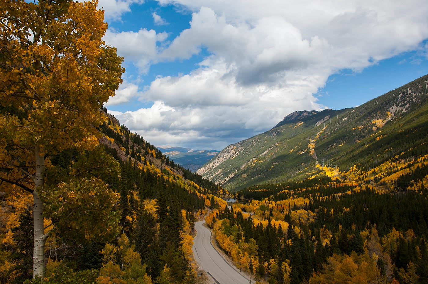
The Guanella Pass Scenic and Historic Byway is a spectacular drive all seasons, and especially in the fall when the aspens put on their autumn best and shower the byway with leaves of gold.
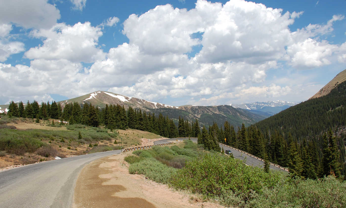
Summer offers robust views of the scenic valley along with wildlife and access to well known Colorado 14er, Mount Bierstadt.
In the winter months the road closes at the Naylor Lake Intersection where you may park and enjoy a wonderland for snow shoeing and cross country skiing.
Directions
From I-70, take Exit 228 for Georgetown and follow the Byway signage through Historic Georgetown to Rose Street and begin traveling up and along the Guanella Pass Scenic and Historic Byway. 23 miles long, the Guanella Pass Scenic and Historic Byway follows the original wagon route that linked the mining towns of Georgetown, Colorado and Grant, Colorado on US Highway 285.
Today, the byway is fully paved from I-70 in Georgetown to US Highway 285 in Grant.
Details
Guanella Pass Scenic and Historic Byway typically opens the Friday before Memorial Day Weekend and remains open through late November, weather permitting.
In summer months it is best to visit during the week and early in the day as weekends and afternoons can be over crowded.
For local traffic information call the Guanella Pass Road Information Hotline (303) 679-2422 x.2
Visit www.cotrip.org or download the CDOT Mobile App for up to date traffic information provided by the Colorado Department of Transportation

Clear Creek County is the gateway to the Rocky Mountains. Located just west of Denver along Interstate 70, Clear Creek has 396 square miles of public lands to explore, as well as four mountain peaks above 14,000 feet. Clear Creek is comprised of charming mountains towns Idaho Springs, Downieville, Lawson, Empire, Georgetown, and Silver Plume, which are all along the I-70 corridor. Learn more about Clear Creek County here.