So you’re ready to hike your first 14er? Exciting! Here are a few tips to plan a safe ascent.
Define Goals and Expectations for Your Hike
Before departing to climb a Fourteener, your group should discuss and agree upon the goals for the hike.
Also, keep in mind that a group travels only as fast as its slowest member. Understanding each person’s abilities will ultimately allow you to have a safe, successful trip to Colorado’s high country.
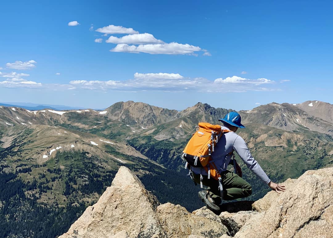
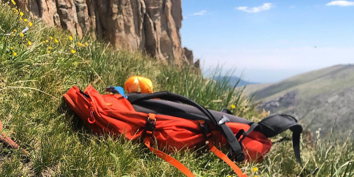
Go Prepared and Bring the Right Hiking Gear
- Clothing: Wear water-resistant, layered clothing which can be removed or added as Weather changes. (i.e.: long underwear, turtleneck, sweater, waterproof jacket and pants, nylon socks, waterproof gloves, winter hat, sunglasses, goggles).
- SUN/UV: Ultraviolet rays are more powerful at higher elevations. since we are about 2 miles above sea level you will need goggles and sunglasses that have UV protection. Also, regardless of your skin color or complexion, everyone should wear sunscreen even on overcast days when ultraviolet rays still penetrate cloud cover.
- Altitude Illness: There is no foolproof method for avoiding altitude sickness, but drinking extra water and avoiding alcohol during your visit and salty foods the week before you arrive seems to be the most helpful.
Understanding Mountain Terrain
Rocky mountains may be hazardous. Every mountain is slowly disintegrating due to erosion, especially above the snow-line. Falling rocks tend to form furrows in a mountain face, and these furrows (couloirs) have to be ascended with caution. Their sides are often safe when the middle is stoneswept. Rocks fall more frequently in accordance with recent weather. Ice formed during the night may temporarily bind rocks to the face but warmth of the day or direct sun exposure may easily dislodge these rocks. Local experience is valuable for determining typical rockfall on such routes.
The direction of the dip of rock strata often determines the degree of danger on a particular face; the character of the rock must also be considered. Where stones fall frequently debris will be found below. Whilst on snow slopes falling stones cut furrows visible from a great distance. In planning an ascent of a new peak, mountaineers must look for such traces. When falling stones get mixed in considerable quantity with slushy snow or water a mud avalanche is formed. It is vital to avoid camping in their possible line of fall.
Clear Creek County is the gateway to the Rocky Mountains. Located just west of Denver along Interstate 70, Clear Creek has 396 square miles of public lands to explore, as well as four mountain peaks above 14,000 feet. Clear Creek is comprised of charming mountains towns Idaho Springs, Downieville, Lawson, Empire, Georgetown, and Silver Plume, which are all along the I-70 corridor. Learn more about Clear Creek County here.