Explore Clear Creek County
Clear Creek County is home to many snowshoeing trails and sometimes it is difficult to know what trail is best. Below is a list of several trails that are great for snowshoeing.
Each trail listed below includes information on difficulty, trail length, trip type, and directions. Please feel free to stop in our visitor centers in Idaho Springs or Georgetown for additional information.
Please print this card, fill it out, and leave it face down on your dashboard, as the information provided will assist local authorities in case of emergency.
As with every snow-related activity outside ski area boundaries, be acutely aware of avalanche danger and approaching storms – Know before you go.
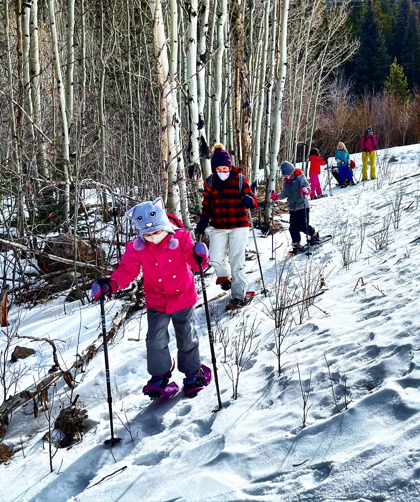
Georgetown Outdoor Discovery provides guided snowshoe tours.
Beginner Trails
Echo Lake
Located 14 miles south of Idaho Springs on CO 103.
(No mileage, just get out and explore.)
Bakerville-Loveland Trail
Located off of I-70 at Bakerville, Exit 221.
(5 miles)
South Chicago Creek
Located approximately 9 miles south of Idaho Springs on CO 103.
(2 miles)
Moderate Trails
Resthouse Meadows
Located at Echo Lake Campground near the restrooms on the east side of CO 103.
(5 miles)
Silver Dollar Lake
Located 9 miles south of Georgetown on Guanella Pass Road.
(3 miles)
Fall River Reservoir:
Located at the bottom of the second switchback on Fall River Road.
(3 miles)
Waldorf Road Trail:
Located 2.5 miles south of Georgetown on the right side of Guanella Pass Road.
(5.5 miles)
More Difficult Trails
Herman Gulch:
Located on the north side of I-70 at exit 218
(2.7 miles)
Jones Pass:
Located next to the Henderson Mine off CO 40. Turn right, just before the guardhouse.
(5 miles)
Devil’s Canyon:
Located on the east side of CO 103, 14 miles past Ponder Point Picnic Area.
(3 miles)
Most Difficult
Butler Gulch:
Located at the Jones Pass Trailhead. Travel up Jones Pass trail about 0.3 miles and turn left.
(2 miles)
Stevens Gulch:
Located at Exit 221 off I-70. The road heads south out of the parking lot.
(5 miles)
Grizzly Gulch:
It splits off Stevens Gulch approximately 1 mile from the parking lot. Take the right fork.
(4 miles)
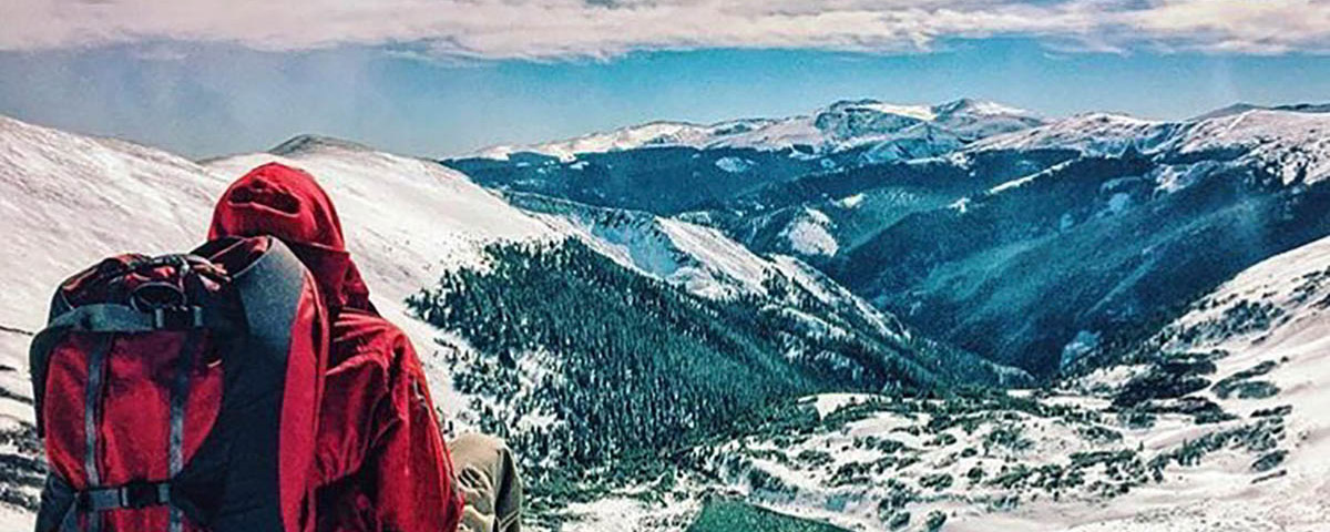
Clear Creek County is the gateway to the Rocky Mountains. Located just west of Denver along Interstate 70, Clear Creek has 396 square miles of public lands to explore, as well as four mountain peaks above 14,000 feet. Clear Creek is comprised of charming mountains towns Idaho Springs, Downieville, Lawson, Empire, Georgetown, and Silver Plume, which are all along the I-70 corridor. Learn more about Clear Creek County here.